top of page

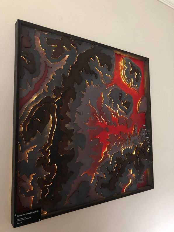
Topographic Map Artwork
Laser cut and backlit
This art piece is a topographic map of the castle hill basin area in Canterbury, New Zealand.
Layers are created from laser cut wood and acrylic - the acrylic allows it to be backlit with LEDs and produces a stunning visual effect.
Created using ArcGIS Pro and Lightburn software using data from the Land Information NZ website.
Created as a gift for my brother who rock climbs in the castle hill basin.
Project Gallery
bottom of page


